Get to know Banja Luka
Home / Get to know Banja Luka
Based on the political and territorial organization of the Republic of Srpska, which consists of municipalities and cities, the biggest political and territorial unit is the City of Banja Luka (former municipality), which occupies the surface of 1 239 km2.
Geographic information
- Surface: 1.239 км2
- Population: 180.083 (results of the 2013 census of population and housing units)
- Coordinates: 44o 46’ north 17o 11’ east
- Web: www.banjaluka-tourism.com
Other information
- Address: Kralja Petra I Karađorđevića 87, 78000 Banja Luka, Republic of Srpska, Bosnia and Herzegovina
- Phone: 00 387 51 49 03 08
- E-mail: tobl@teol.net
- Web: www.banjaluka-tourism.com
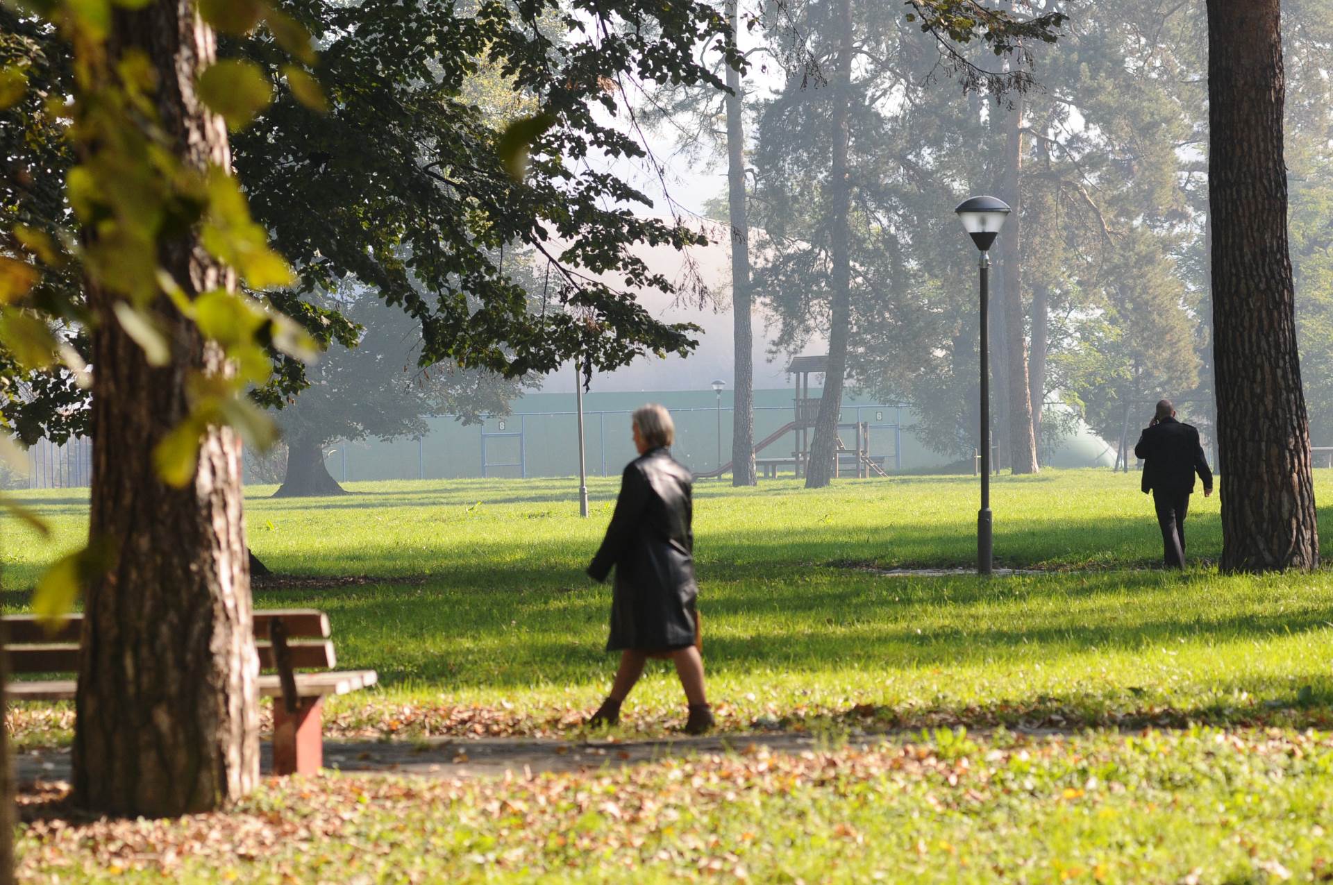
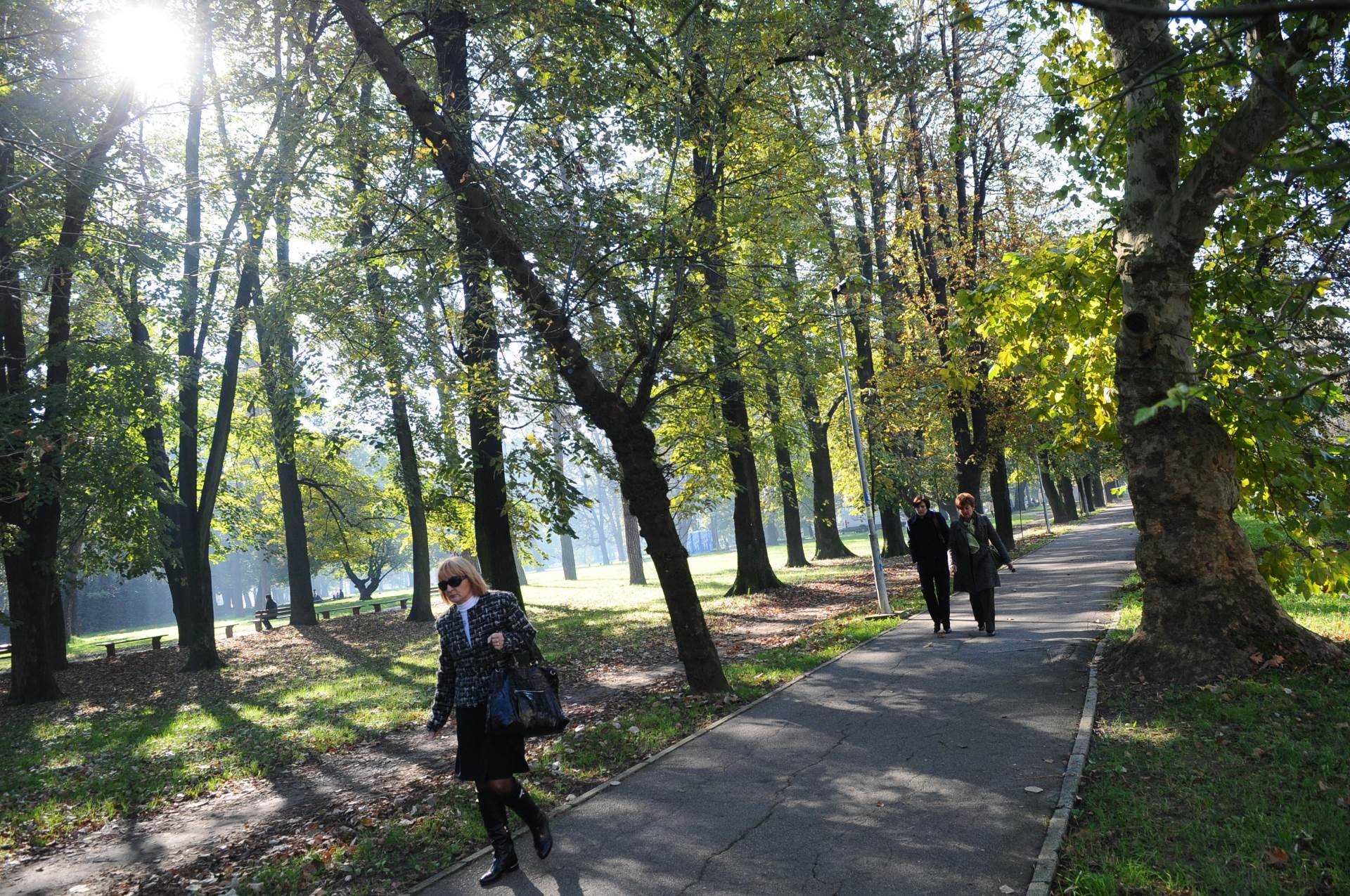
Due to many of its green surfaces – parks and tree-lined roads, Banja Luka is also known as the city of greenery. It is also called a city of young people, sport and culture. It used to be a strong economic center with developed industry – the machinery-, electrical-, textile-, food- and cellulose industry in particular. The past war calamities that struck the city in the 1992-1995 period and the post-war society transition resulted in the collapse of a majority of the industrial capacities and markets.
The post-war Banja Luka started to open up more extensively to market economy countries, directing its development prospects towards the progress of trade, tourism, agriculture and food industry.
The city`s holiday, Day of Banja Luka, is celebrated on April 22, which is the date when Banja Luka was liberated from fascism in WWII.
The city`s religious holiday is Ascension Day.